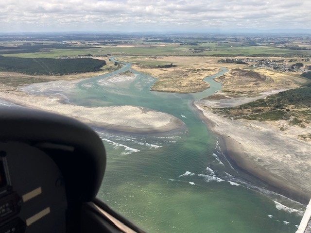
These are drone pictures taken of Tangimoana Boat Ramp, channel, and river bar. They have been completed under CAA Rules Part 101, with the approval of Ohakea Tower. Please see: airshare.co.nz for all drone rules, or to log a future drone flight.
Tangimoana lies within the Ohakea Control Zone, and therefore needs prior approval from Ohakea Tower. They see your proposed flight when you log it through airshare.co.nz, and give final approval over the phone. Ohakea Tower is very helpful, if you have registered your flight first.
As always, responsibility for any boat trip lies with the Skipper.
Saturday 11 January 2025. 2.30pm. Dead low tide
These were taken with a 15 knot onshore wind. Too much to take pics from the outside looking in to the river.
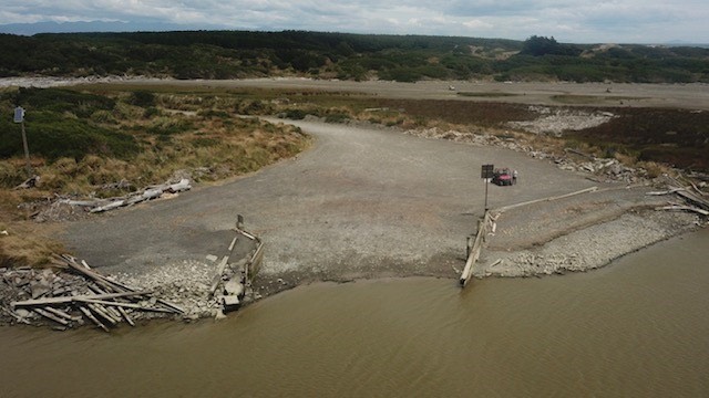
Car park and ramp.
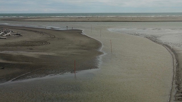
Keep channel markers on your port side going from the ramp to the river. Thanks to Gricey and Paddles for the extra markers…!
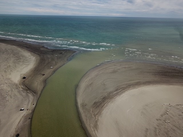
Looks like the bar channel goes straight out after the gentle curve to starboard.
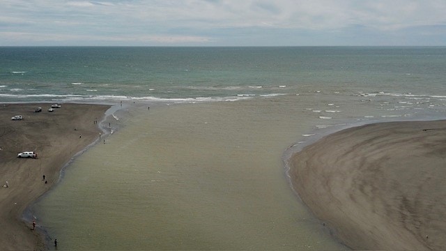
A closer look at the river bar, low tide.
BONUS PIC - just after 2pm, Wednesday 15 Jan 2025 - 2 hours after high tide. Looks like the channel almost goes straight out after the starboard turn..
